


Terrain
Flat with occasional undulations
Park(s)
Wolli Creek Regional Park, Waterworth Park, Kendrick Park, Discovery Point Park
Area
Wolli Creek

Travel Options
Train, Car (Bexley North Station, Wolli Creek Station)
Travel Time from Central Sydney
½-¾ hour (by car)
Map

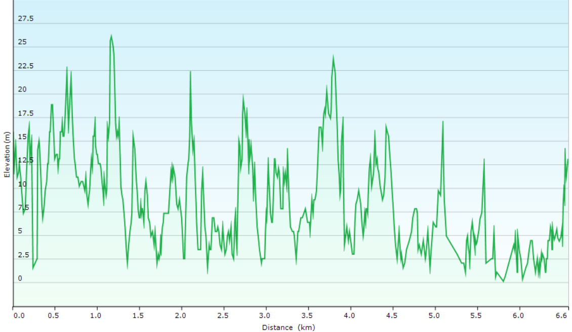
Ascent/Descent
About the Walking Track
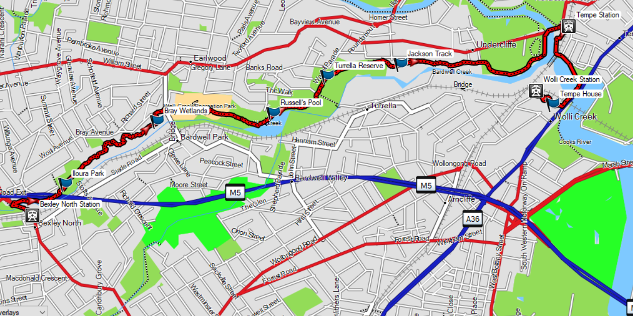
Stroll down Bexley Road to the pedestrian overbridge and walk across this bridge to the track through Wolli Creek Regional Park. Follow this track to Waterworth Park and Tempe Station carpark and then follow a path along the northern bank of Cooks River to the Princes Highway Bridge. A short stroll brings you to Tempe House and Wolli Creek Station.
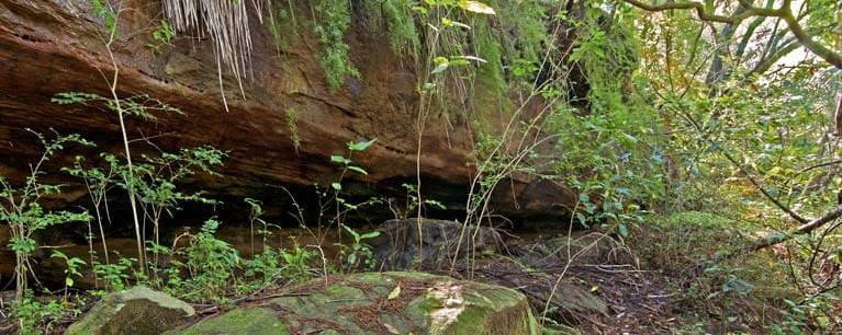
Wolli Creek Regional Park is another hidden gem of Sydney. Forests of angophora, blackbutt and Sydney peppermint provide cool shade and the stonework of Girrahween Park and Russells pool are a reminder of another era while Tempe House takes you back to our colonial roots.
Public Transport
T8 train from Central to Bexley North Station and return from Wolli Creek Station to Central. A trip planner is available from Transport NSW web site.