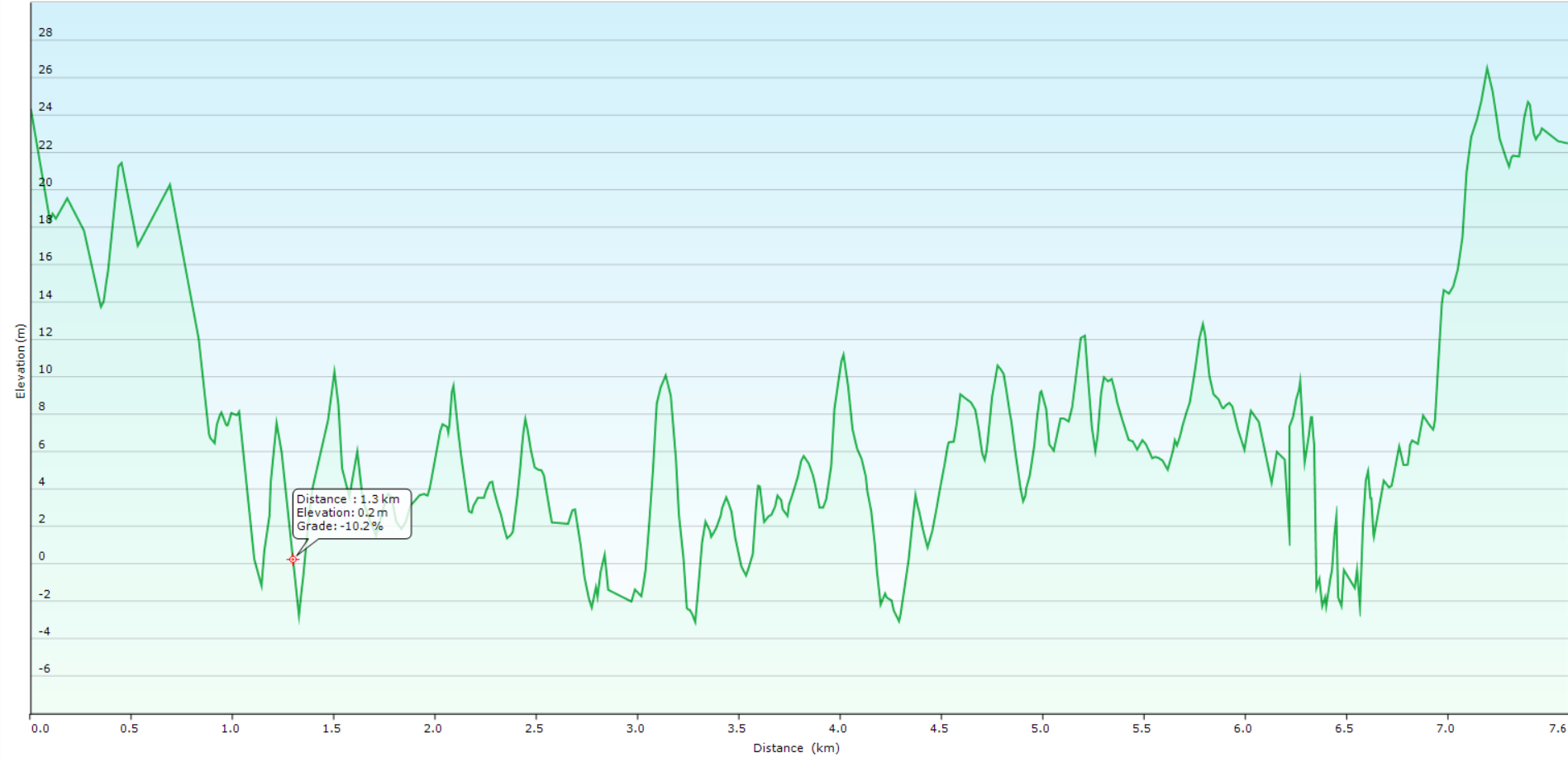
Terrain
FlatPark(s)
Sydney Olymic Park, Cathy Freeman Park, Wentworth Common, BrickpitArea
South of HarbourTravel Options
Train, Car (P6 carpark - metered)Travel Time from Central Sydney
20-45 mins (by car)About the Walking Track
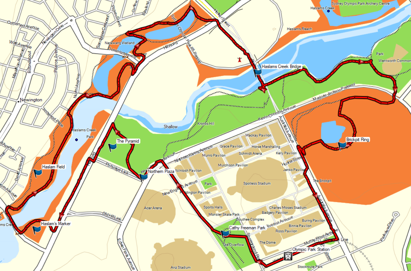
Leave Olympic Park Station and head west along Olympic Boulevard to Haslams Pier then follow the path around the Pyramid to Edwin Flack Avenue. Down this road and around Haslams Marker to cross Haslams Creek to a track off Louise Sauvage Path heading north along the creek amd through Narrawang Wetland to Holker Street. Walk through the P5 carpark and across Haslams Creek again before heading north to Wentworth Common and then south around The Brickpit to return to the station.
This walk is a satisfying contrast of the built architecture of Olympic Park Station, Stadium Australia and the Showground with the excellent re-generation of bushland and swamp along the western side of Haslams Creek. The constructed hills of The Pyramid, Haslams Marker and the Bay Marker also provide an interesting counterpoint to the Brickpit Ring.
Public Transport
T1 train from Central to Lidcombe Station and T7 train from Lidcombe Station to Olympic Park Station. The walk starts and finishes at the latter station. A trip planner is available from Transport NSW web site.


