
Distance
5.6 kilometres circuit
Duration
2 hrs excluding breaks
Suitable for
Walking/Jogging
Trail Grade
Grade 2
Terrain
Undulating
Park(s)
Monroe Park, Cronulla Park, The Esplanade Reserve, Shelly Beach Park, Oak Park, Salmon Haul Reserve, Hungry Point Reserve, Darook Park, Gunnamatta Park
Area
Sutherland Shire

Travel Options
1. Train2. Car (Cronulla Station parking, Tonkin Street)

Travel Time from Central Sydney
½ - 1 ½ hours (by car)
Map


Ascent/Descent

About the Walking Track
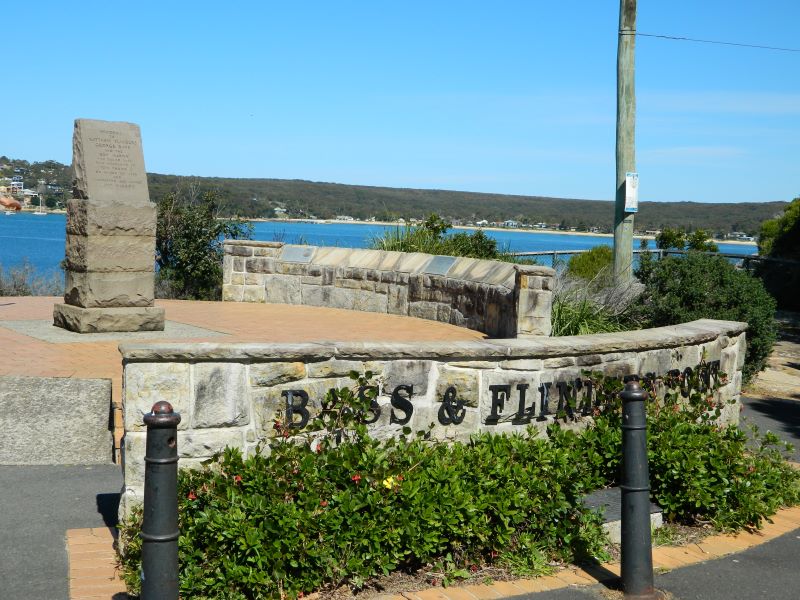
A series of stunning seascapes from Cronulla Beach to the Bass & Flinders Monument followed by views of Port Hacking and Gunnamatta Bay with its myriad of sailboats.
From Cronulla Station head east to the beach and then past Cronulla SLSC to the Esplanade along the low clifftops to Shelley Beach, Oak Park and Salmon Haul. Up the steps past the Old Fisheries buildings and down to Darook Park. Locate the bitumen path in the middle of the park and follow it up to Gunyah Street and Nicholson Parade. Along the latter to Leumeah Street, and Taloombi Street to Gunnamatta Park. Head north to the giant picnic shed and down the slope past Gunnamatta Baths to the path along the foreshore to Cronulla Wharf where you follow the path above Tonkin Oval to the railway underpass and Cronulla Station.
Public Transport
T4 train from Central Station to Cronulla Station. Return by same train. A trip planner is available from Transport NSW web site. (https://transportnsw.info/trip)