Distance
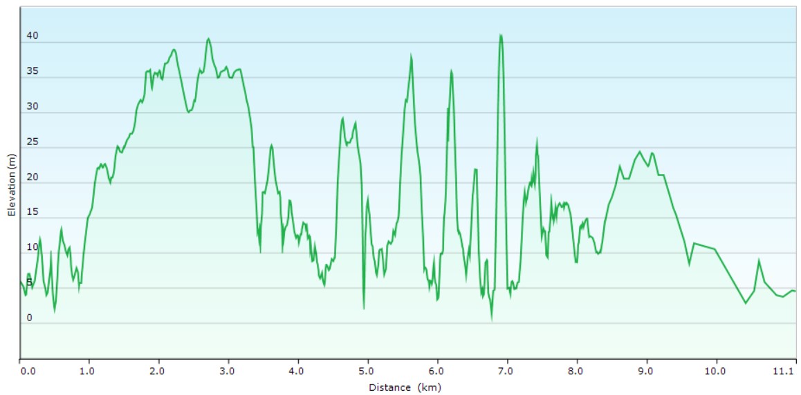
11.1 kilometres one wayDuration
3hrs 15mins excluding breaksSuitable for
Walking/JoggingTrail Grade
Grade 3Terrain
FlatPark(s)
Kamay-Botany Bay National ParkArea
Sutherland ShireTravel Options
1. Train/Bus2. Car (Landing Place Visitor Centre, Potter Point carpark)
Travel Time from Central Sydney
¾ - 1 ¾ hours (by car)About the Walking Track
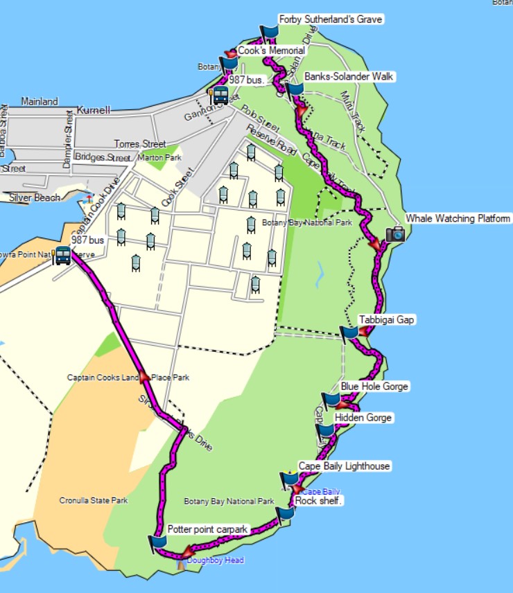
From the bus stop, follow the Memorial Path to the Meeting Place and Visitor Centre before walking through the carpark to the Yena Trail. Follow the Yena Trail and Banks-Solander Walk to Cape Baily Track. Head south to the Whale Track and follow this track down to Cape Solander Drive. After a detour to the Whale Watch, return and follow the boardwalk to Tabbigai Gap then continue south to Cape Baily Lighthouse. Leave the fire trail after 140 metres and follow the track markers across the large rock shelf to Potter Point carpark. Head north along the narrow bitumen lane (beware of cars) to Sir Joseph Banks Drive and the bus stop on Captain Cook Drive
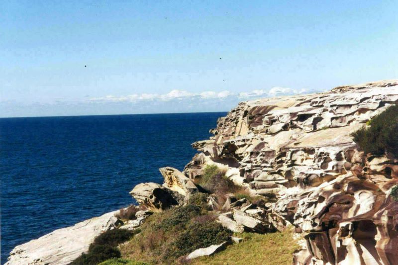
Magnificent coastal views, spring wildflowers, golden wind-carved sandstone and remains of the Depression era cliff-dwellers make this a walk to remember. Diversions to the Banks-Solander Wildflower Walk and the Whale Watching platform (May-Nov) add to the enjoyment.
Public Transport
T4 train from Central Station to Cronulla Station and 987 bus from stop 223021 in Cronulla Street (opposite the station) to stop 223134 at Kamay Botany Bay National Park in Captain Cook Drive, Kurnell. The walk starts at this bus stop. Return by the same bus from stop 223141 in Captain Cook Drive after Sir Joseph Banks Drive and T4 train from Cronulla Station. A trip planner is available from Transport NSW web site. (https://transportnsw.info/trip)


