


Terrain
Undulating
Park(s)
Mowbray Park, Chatswood Athletics Field, Lane Cove National park
Area
North Shore

Travel Options
Bus.Car (River Ave)

Travel Time from Central Sydney
1/4,1/2 hour (by car)
Map


Ascent/Descent
About the Walking Track
Start the walk at the corner of River Avenue and Delhi Rd and cross Fullers Bridge to head south on the public access through Chatswood Golf Course to the Riverside Track and Upper Track above the athletics field then down to the Aboriginal totem pole ‘Nepubai’ in the south west corner of the Rotary Athletics Field. Follow the boardwalk, path and steps south to Epping Road Bridge. Head west across the bridge to steps on its western side. Walk down these steps and head north along the sign-posted Great North Walk to Fullers Bridge.
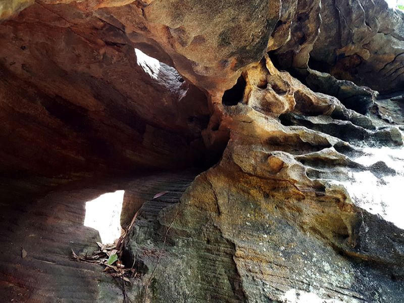
On the eastern side of the river, the track passes through interesting rocky sections, mangroves, salt marsh, casuarina forest and sections of boardwalk with occasional seats for a moment of quiet repose. The walk then runs through sandstone and rainforest on the western side of the river to eventually drop down to pass through the historic Fairyland Pleasure Grounds site. This is an excellent introduction to Sydney’s urban bushland.
Public Transport
T1 from Central to Chatswood and bus 259 or 256 from stand G in Victoria Avenue on the western side of the station. Alight at stop 205766 in Delhi Road at River Avenue. The walk starts at the bus stop. Return by same bus and train from bus stop on opposite side of Delhi Road. A trip planner is available from Transport NSW web site.