Distance
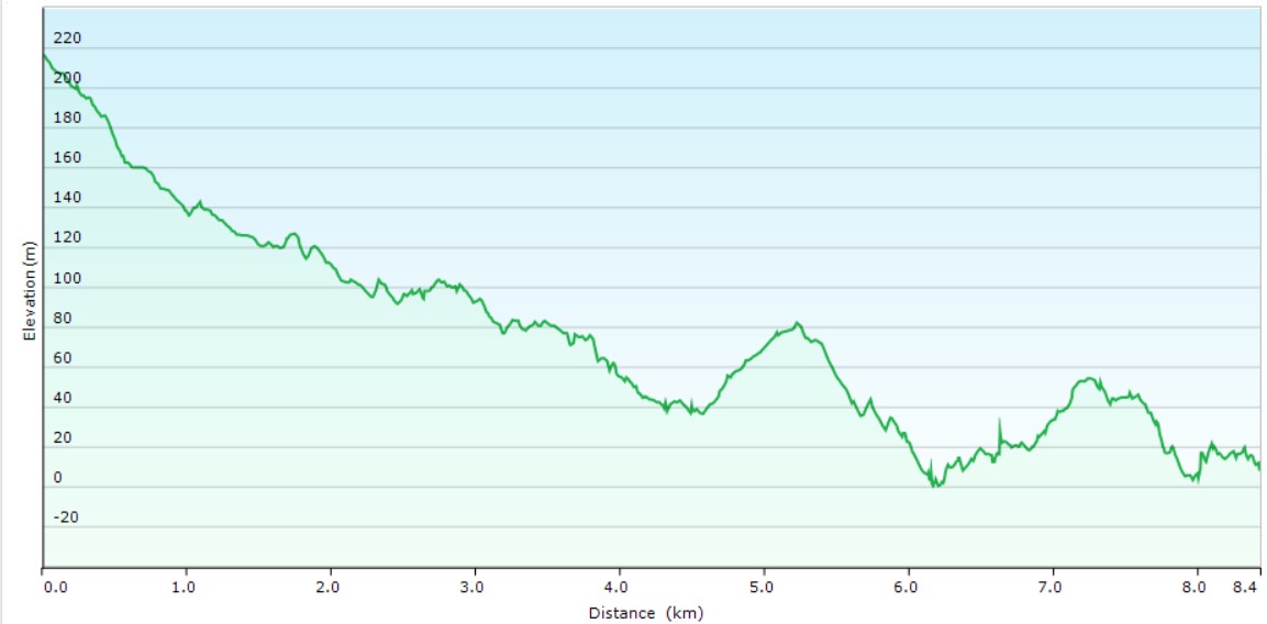
8.4 kilometres one wayDuration
3hrs excluding breaksSuitable for
Hiking/JoggingTrail Grade
Grade 2Terrain
UndulatingPark(s)
The Royal National ParkArea
The Royal National ParkTravel Options
1. Train/Bus (Not available at present - see below)2. Car (Sir Bertram Stevens Drive/Curra Moors Fire Trail; Wattamolla Carpark)
Travel Time from Central Sydney
1-2 hours (by car)About the Walking Track
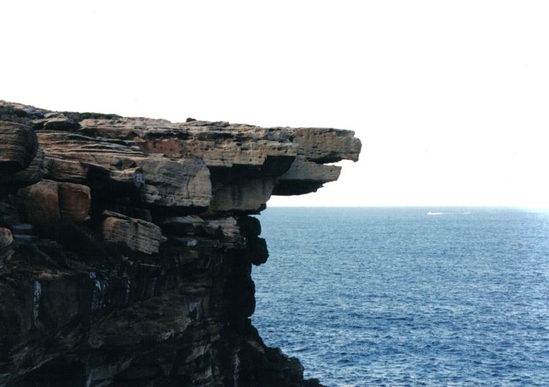
Glorious spring wildflowers across Curra Moors are followed by stunning coastal views, bubbling creeks and cascades at Curracarong and Curracarang. View the iconic Eagle Rock, the coastal rainforest on Curracarong Creek and the enchanting Wattamolla Inlet. If you’re lucky you may be able to reward yourself with an ice cream from the food truck in the lower carpark at Wattamolla.
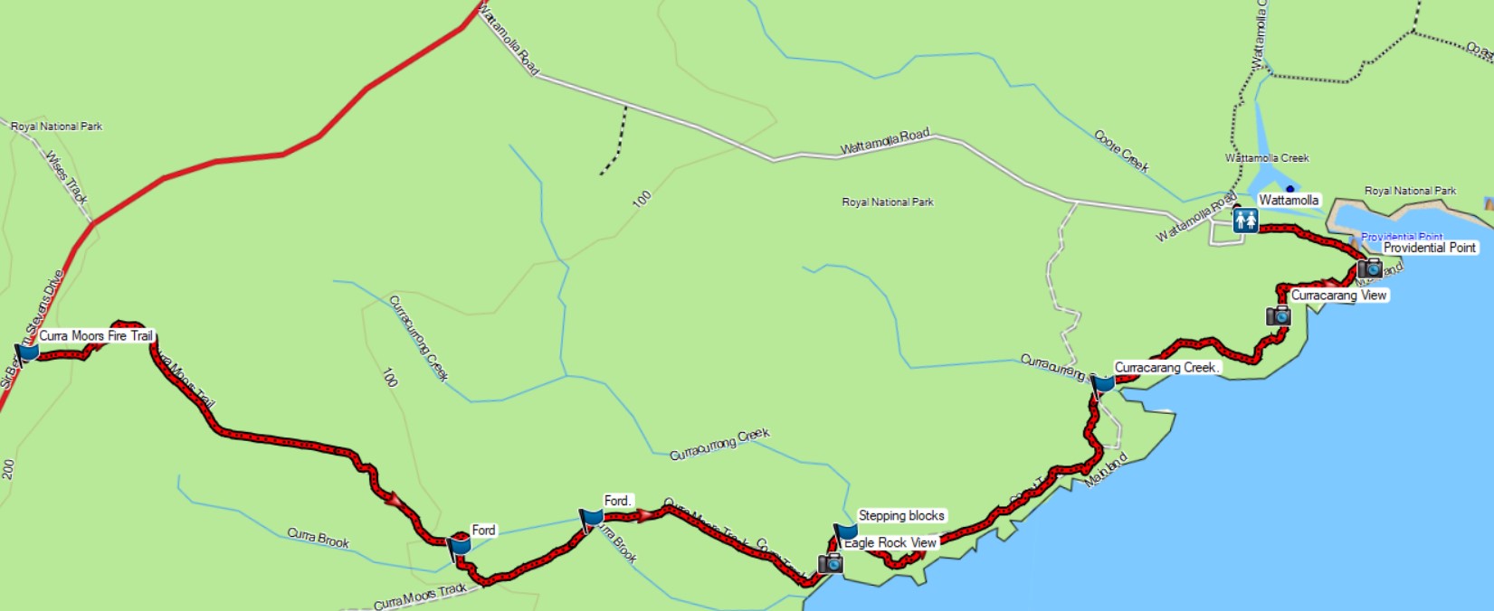
From Sir Bertram Stevens Drive, head south-east along the Curra Moors Fire Trail to its junction with the Curra Moors Track GPS23262 18960. Head north-east on this track to the Royal Coast Track. Follow this boardwalk along the coast to a junction GPS26364 20633 with a wide gravel path north of Curracarang View. Turn right and follow this gravel and boardwalk path around Providential Head to Wattamolla.
Public Transport
At present there is no public transport within The Royal National Park. Park Connections could re-commence their weekend/holiday bus service from Sutherland Station to Waterfall Station via Wattamolla and Curra Moors when the landslips on the roads in the park are repaired. Email them enquiries@parkconnections.com.au or check their web site https://parkconnections.com.au/bus-timetable/


